Delivering Wildlife in Urban Areas with FlyCart 30
Delivering Wildlife in Urban Areas with FlyCart 30: Altitude, Imaging Discipline, and Safer Drop Workflows
META: A practical FlyCart 30 tutorial for urban wildlife delivery missions, covering flight altitude, winch operations, route planning, payload handling, BVLOS considerations, and why image resolution settings matter during site verification.
Moving wildlife through a city is not a standard delivery job with a different payload. The constraints stack fast: narrow landing options, visual clutter, rooftop turbulence, traffic corridors, public sensitivity, and the need to place an animal or support package precisely without adding stress to the situation. That is where the FlyCart 30 becomes interesting—not as a buzzworthy aircraft, but as a logistics platform that can solve a specific class of urban access problems when the mission is designed correctly.
I approach this as a logistics lead, not a spec-sheet collector. For urban wildlife operations, the airframe matters, but the workflow matters more. The route, the release method, the verification process, and the decision about when to hover high versus descend lower all determine whether the mission stays controlled.
One overlooked factor deserves more attention than it gets: image settings on the field phone or support device used by the crew. That sounds unrelated until you are trying to confirm a rooftop marker, read a temporary sign near a receiving point, or check whether vegetation, netting, or balcony hardware could interfere with a winch drop. Many teams assume a “high megapixel” phone automatically gives them reliable detail. Often it does not.
A recent Chinese tech note highlighted a simple but operationally relevant fact: many phones marketed as 100-megapixel devices do not capture that level of detail by default. They usually ship in pixel-binning mode and output roughly 12-megapixel images because it saves storage and speeds image processing. The tradeoff is obvious in field work. Distant signage, fine plant texture, and small text tend to soften when zoomed in. In wildlife delivery planning, that can mean the difference between correctly identifying the right rooftop service zone and misreading the environment entirely.
That is not a camera debate. It is a mission-quality issue.
Why urban wildlife delivery needs a different FlyCart 30 playbook
Urban wildlife transfers can include moving rehabilitation supplies, transporting small containment systems, delivering feed or medical support gear to a temporary care point, or placing specialized equipment where vehicle access is impractical. These are civilian logistics tasks, but they are delicate ones. Noise, rotor wash, crowded surroundings, and uncertain handoff conditions all shape how the aircraft should be used.
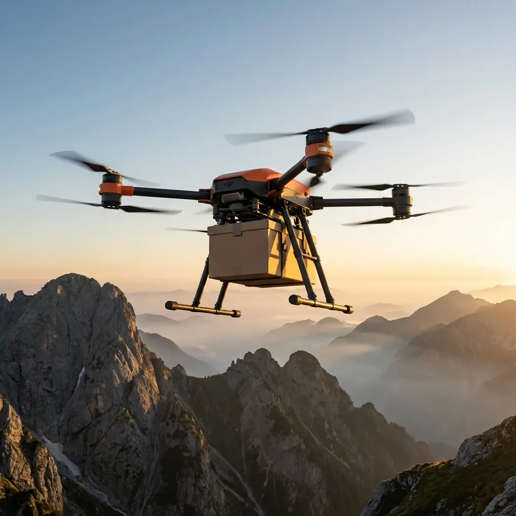
The FlyCart 30 is best thought of here as a controlled lift-and-placement system. In city work, its value often comes from reducing the need to land in tight areas. That shifts the mission toward winch-based delivery rather than touchdown delivery. Once you make that shift, flight altitude becomes one of the most consequential decisions in the whole operation.
Too high, and the payload can pendulum more, visual confirmation suffers, and the operator may struggle to verify the exact release zone. Too low, and you increase exposure to rooftop obstacles, local turbulence, visual distraction, and public proximity. The right altitude is not fixed. It is selected around the environment, the payload behavior, and the accuracy of your site intelligence.
The altitude insight that actually matters
For wildlife-related deliveries in urban zones, optimal altitude is rarely about flying as low as possible for precision. It is about staying high enough to preserve a safety buffer above obstacles while descending only as much as needed for stable winch placement and positive visual confirmation.
That means the mission should be split into phases:
Transit altitude Stay high enough to clear buildings and keep the route predictable, especially under BVLOS-approved or corridor-managed operations.
Approach altitude Descend to a level where the crew can reliably confirm the receiving point, wind behavior, and potential snag hazards.
Placement altitude Hold the aircraft at a conservative stand-off height and let the winch do the close work.
For this scenario, the winch system is the altitude tool as much as the aircraft is. A lot of teams think only in terms of drone height. In practice, the smarter move is often to keep the aircraft farther from the roof edge, courtyard, or service deck than instinct suggests, then use the winch to complete the final vertical transfer. That reduces the chance of rotor wash disturbing lightweight materials, vegetation, or stressed animals in receiving containers.
In other words: don’t chase precision by putting the whole aircraft into the tightest part of the environment if the cable can do that final step more safely.
Why route optimization is not just about speed
Urban wildlife delivery is one of the few use cases where the fastest route may be the worst route.
A route passing between tall buildings may look efficient on a map but can produce inconsistent airflow, signal complexity, and difficult visual geometry during approach. A slightly longer path with cleaner lateral clearance can result in a calmer final hover and a more predictable winch descent. That matters when the payload is sensitive or when receiving personnel need a clear and repeatable handoff window.
Route optimization for FlyCart 30 should prioritize:
- obstacle clearance margins
- fewer turns near the destination
- minimal exposure to concentrated pedestrian zones
- stable GNSS environment where possible
- a final approach line that gives the operator time to assess the drop point
This is also where payload ratio enters the conversation. A heavier payload relative to mission distance and weather margin changes how aggressive you can be with route design. If the aircraft is operating near the upper end of practical lift for the day’s conditions, build in more margin, not less. Sharp reroutes and late-stage adjustments become more expensive as payload burden rises.
The imaging mistake that can compromise the whole mission
Let’s return to that phone-camera point, because it maps directly onto pre-flight validation.
The source material notes that many so-called 100-megapixel phones default to about 12 megapixels through pixel binning. The reason is practical: lower storage use and faster image generation. But for urban site assessment, that default can hide details you assume you captured. When you later zoom in on an image of a rooftop receiving area, remote sign, fence gap, or vegetation cluster, the fine structure may already be gone.
The source specifically mentions distant signs and flower or plant textures turning soft when enlarged, with text becoming hard to read. Operationally, that means:
- a rooftop marker can be misidentified
- a small printed access instruction may not be legible
- decorative planting near the drop zone can conceal interference risk
- edge materials or netting patterns may be missed in planning photos
For FlyCart 30 crews supporting wildlife delivery in urban areas, this creates a simple rule: if your site-validation phone has a high-resolution mode, use it deliberately for scouting images that will later be reviewed at full size. Do not assume the default camera setting preserved the detail you need.
That one adjustment can improve route planning, receiving-point verification, and post-mission review. It also reduces the temptation to over-descend the aircraft during live operations just to visually compensate for poor pre-mission intel.
Using the winch system without creating new problems
The winch is one of the most useful tools for this scenario, but only if the payload is prepared for controlled descent.
For urban wildlife support missions, I recommend thinking through the package as a suspended system rather than a box that happens to be hanging. That means checking:
- center of gravity
- anti-rotation behavior
- external surfaces that can snag
- container ventilation if live-animal support materials are involved
- clear receiving instructions for ground staff
A stable winch operation depends on a steady hover, a predictable lowering path, and a receiving area that has been verified from multiple angles. Again, this is where high-detail imagery matters. If rooftop hardware, wires, planters, hooks, or railing geometry were not visible in planning, the final lowering phase becomes unnecessarily reactive.
The FlyCart 30 should be used to keep the aircraft outside the most cluttered envelope while the winch places the payload into it. That is usually the cleaner logic in urban wildlife work.
Dual-battery thinking for urban risk management
Dual-battery architecture is often discussed as a feature. In real operations, it is a planning discipline.
Urban wildlife missions can involve delays at the receiving point. Personnel may not be ready. An area may need to be cleared. The package may need to be held while a veterinary or care team confirms readiness. That means the aircraft may spend more time in approach, hover, or reposition than the nominal route estimate suggests.
With a dual-battery platform, the temptation is to treat the extra resilience as permission to cut reserves closer. That is backwards. In city delivery work, battery redundancy should support conservative decision-making, not tighter margins. Build enough reserve for:
- an aborted approach
- a second setup circuit
- a delayed winch sequence
- a diversion if the receiving point becomes unusable
Wildlife-related operations can become dynamic quickly. The power plan should assume that.
BVLOS only works if your information quality is high
BVLOS is attractive for urban logistics because it expands operational range and removes some line-of-sight constraints. But for a wildlife delivery task, BVLOS should not become an excuse for weaker local intelligence.
The less directly the pilot can inspect the destination environment in person, the more valuable your ground imagery, route survey, and receiving-point coordination become. That is why the camera detail issue from the source material is so relevant. A default 12-megapixel image from a phone that advertises 100 megapixels may be perfectly fine for casual documentation. It is not always fine for remote operational verification.
High-quality planning data supports safer BVLOS execution. Low-detail planning imagery tends to push uncertainty into the live mission, where your options are narrower and your workload is higher.
Emergency parachute: where it fits in this scenario
In dense urban operations, an emergency parachute belongs in the conversation because the consequence environment is less forgiving. But it should be treated as a contingency layer, not a comfort blanket. Good mission design still does the heavy lifting:
- route away from the busiest ground areas where possible
- avoid needless hovering over public movement
- use the winch to reduce close-in aircraft exposure
- preserve battery reserves for decision margin
- keep approach geometry simple
The parachute is there for the bad day. The mission plan should be built to avoid needing it.
A practical field workflow for this exact mission type
If I were standardizing FlyCart 30 urban wildlife deliveries, the tutorial version would look like this:
1. Validate the destination with detail-rich imagery
Before flight day, capture or request images of the receiving point. If a high-resolution mode exists on the device, enable it intentionally. Do not trust default settings if you may need to zoom in on signs, rooftop markers, or vegetation.
2. Choose the route for stability, not the shortest line
Favor cleaner airspace geometry and simpler final approaches over raw efficiency.
3. Keep the aircraft higher than the clutter, use the winch for the last segment
This is the core altitude insight. Let the drone stay in the safer part of the airspace envelope and let the cable do the close placement work.
4. Check payload ratio against weather and hover time
Do not plan only around transit load. Plan around the real urban profile: approach, hold, lower, confirm, recover.
5. Brief the receiving team precisely
They should know the stand-off area, package handling sequence, and what to do if the first lowering attempt is paused.
6. Protect reserve energy
Dual-battery capability is useful only if you preserve enough margin to abandon a poor setup and try again.
7. Keep a contingency path
If the site is not clean, leave. A delayed delivery is usually better than forcing a messy urban drop.
If your operation needs a second set of eyes on route design or drop-zone verification logic, you can share the mission profile here: message our logistics desk.
The bigger lesson from a small camera fact
The most useful insight in the reference material is not about phones by itself. It is about default settings hiding operational compromises.
A phone defaults to roughly 12 megapixels instead of the advertised 100-megapixel class because speed and storage are convenient. The image looks fine until you need detail. The same trap appears in drone operations. A route looks efficient until approach turbulence appears. A lower hover looks precise until obstacle exposure increases. A battery estimate looks adequate until the receiving team needs another minute.
Urban wildlife delivery with FlyCart 30 rewards crews who look past the default choice.
Use the platform for what it does best: carry the load, keep the aircraft in the safer envelope, and make the final transfer controlled rather than dramatic. Build your altitude strategy around stand-off positioning and winch precision. Support BVLOS with strong visual intelligence. And if your scouting device claims extreme resolution, verify that it is actually recording at that level when details matter.
That is how these missions become repeatable.
Ready for your own FlyCart 30? Contact our team for expert consultation.