FlyCart 30 Field Report: What a New Drone Insurance
FlyCart 30 Field Report: What a New Drone Insurance Breakthrough Means for Highway Operations in Extreme Temperatures
META: A field report on FlyCart 30 operations, connecting China’s first mandatory drone liability insurance pilot to real-world highway missions, BVLOS planning, extreme weather risk, and safer logistics deployment.
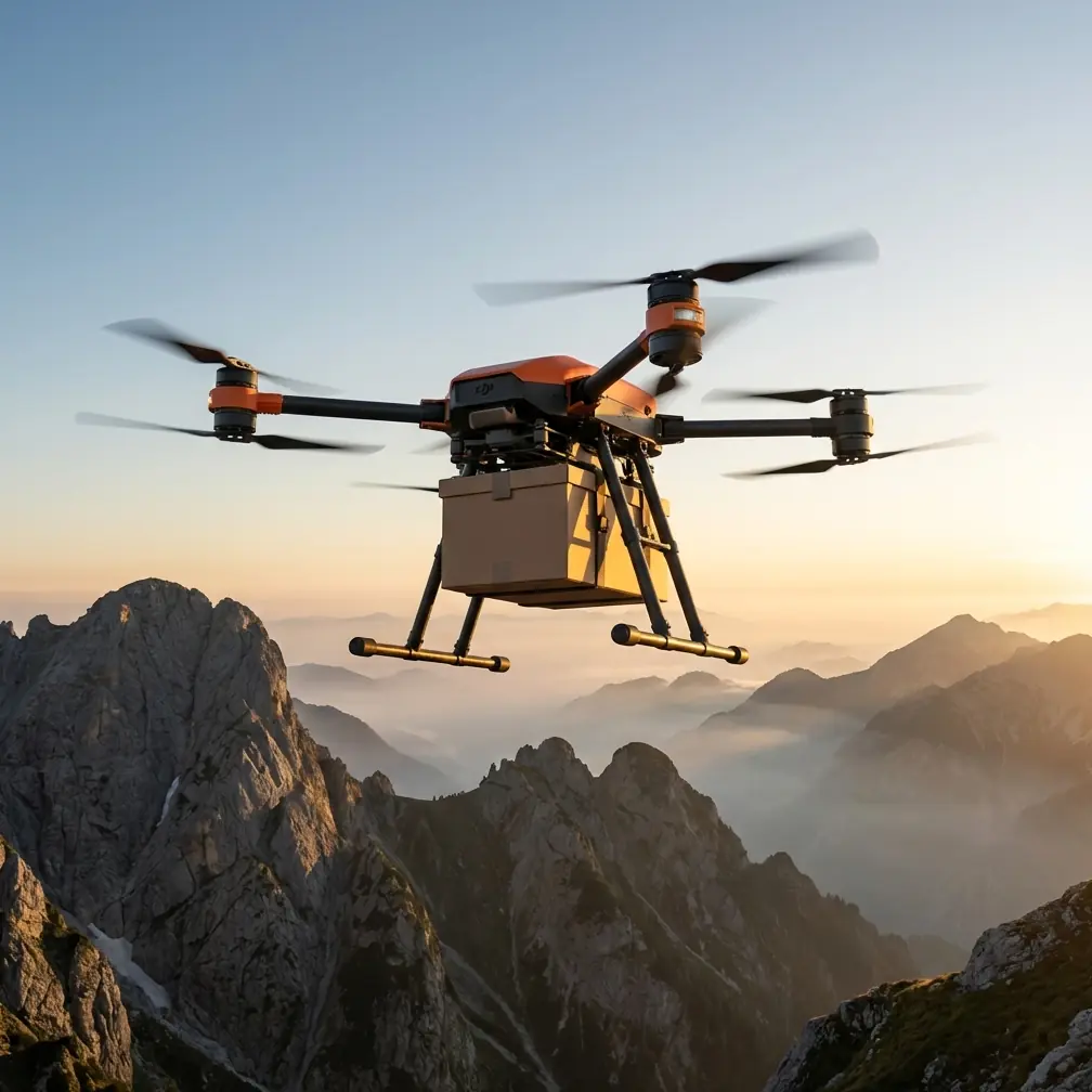
Highway work looks simple from a distance. Long straight corridors. Predictable access roads. Clear start and end points. Then you get on site with a heavy-lift aircraft, wind pushing across exposed lanes, heat shimmer bouncing off asphalt, and a payload that still has to arrive where the ground crew needs it. That is where the FlyCart 30 stops being a spec sheet and starts becoming an operational system.
I’m writing this from the perspective of a logistics lead, not a brochure writer. The recent insurance development out of Chongqing deserves attention because it points to a deeper shift in how industrial drone work is being treated: less like a novelty, more like infrastructure.
The headline detail is hard to ignore. China’s first compulsory liability insurance policy in the low-altitude economy has now been issued under a pilot in Chongqing. The policy was jointly signed by PICC Property and Casualty and 18 insurance institutions, covering 194 drones with total risk protection of 42.6 million yuan. On paper, that sounds like a finance story. In practice, it is an operations story, especially for aircraft like the FlyCart 30 that are increasingly being asked to do serious work in difficult environments.
For teams filming or supporting highway projects in extreme temperatures, this matters for one reason above all: it changes the conversation from “Can the drone fly?” to “Can the mission be structured, insured, and repeated at scale?”
That is a very different question.
Why this news matters specifically to FlyCart 30 operators
The FlyCart 30 sits in a category where operational consequences are larger than they are for lightweight camera drones. If you are using it along highways, you are likely dealing with corridor missions, supply drops, inspection support, or filming setups that require moving equipment through areas where ground access is slow or hazardous. The aircraft’s value is not just lift. It is the combination of payload handling, route discipline, and stability under stress.
That is why liability frameworks are not some distant policy issue. They shape deployment decisions.
A compulsory insurance mechanism tells project owners, contractors, and public-sector stakeholders that drone missions are moving toward standardized risk management. When Chongqing establishes what is described as the country’s first formal compulsory liability insurance mechanism for the low-altitude economy, it sets a precedent that serious operators cannot ignore. If you are planning FlyCart 30 highway operations under BVLOS assumptions, or even preparing for them, this is the type of policy signal that influences approvals, contracting language, and incident response planning.
The second important detail is scale. The first policy did not cover one or two demonstration aircraft. It covered 194 drones. That number suggests an ecosystem preparing for fleet-level deployment, not isolated testing. For FlyCart 30 operators, that is operationally significant because heavy-lift missions become more valuable when they can be integrated into larger, repeatable systems rather than treated as one-off special cases.
What this changes on the ground in extreme-temperature highway missions
Highway corridors are punishing environments for aircraft and crews. In high heat, battery efficiency, motor load, and thermal management become central concerns. In cold conditions, you face different problems: battery performance, condensation, stiff mechanical response, and slower setup cycles. The drone has to do more than stay airborne. It has to hold mission reliability while carrying meaningful payloads and maintaining safe clearance from traffic, roadside structures, and terrain transitions.
This is where the FlyCart 30’s practical design choices matter. A dual-battery architecture is not just a convenience feature in these scenarios. It supports mission continuity and risk control when ambient conditions are unstable. On a highway job, you do not want your flight plan changing because temperature stress suddenly reshapes your usable energy margin. You want predictable routing, realistic reserve planning, and a margin for contingencies.
The winch system also becomes more important than many teams realize. Along highways, landing zones are often compromised by debris, slope, traffic movement, or limited shoulder space. A winch-based delivery or equipment handoff can reduce the need to bring the aircraft into tighter proximity with the ground environment. That can be the difference between a clean operation and one that introduces unnecessary exposure.
Insurance frameworks and aircraft capabilities intersect right there. If your procedures reduce contact risk, improve handoff control, and make emergency response easier to document, you are not just flying smarter. You are building an operation that is easier to insure, defend, and scale.
The real operational lesson from a seemingly unrelated smartphone video article
One of the supporting pieces of news might seem irrelevant at first glance: a mobile video shooting guide advising users to choose resolution based on purpose, use 1080P for short-form output, keep 4K at 30 fps for higher-quality archival footage, and in low light prioritize 1080P at 30 fps for cleaner images with less noise. It also recommends enabling airplane mode while keeping Wi-Fi on to avoid interruptions during recording.
That advice is aimed at phone users. Yet the operational logic transfers remarkably well to drone fieldwork.
Highway missions in extreme temperatures generate a constant tension between capture quality and mission reliability. Operators often assume the highest setting is always the best setting. It is not. The core idea in that article is workflow discipline: choose settings according to mission purpose, not ego. If the task is rapid documentation, stakeholder update footage, or time-sensitive operational review, a more efficient recording profile can be the right answer. If the goal is archival evidence or engineering analysis, higher-resolution capture may justify the overhead.
The low-light point matters too. Extreme conditions are often paired with compromised visibility: dawn starts, dusk shutdowns, dust, smoke, fog, or shadow transitions under overpasses. Cleaner, more usable footage is often better than theoretically sharper footage contaminated by noise. That principle applies whether the image comes from a phone, a handheld camera, or a drone support workflow built around the FlyCart 30.
The airplane-mode tip sounds small, but it reveals something deeper: interruptions destroy usable data. In drone operations, the equivalent is not an incoming call. It is any preventable workflow disruption that breaks concentration, corrupts records, or complicates communication. Mature teams standardize these details because the mission is never improved by unnecessary clutter.
Sequence matters when conditions are harsh
The second supporting article asks a beginner photography question: what comes first, metering, composition, or focus? It frames the issue correctly. Get the sequence wrong and your efficiency drops. You may even miss the decisive moment.
Again, that sounds far removed from a FlyCart 30 highway operation until you spend enough time in the field.
In extreme-temperature logistics and filming support, sequence is everything. Route optimization is not something you do after payload selection. Emergency planning is not something you add once the aircraft is already powered. Sensor checks do not belong at the end of a rushed launch cycle. A disciplined order of operations protects mission quality the same way disciplined photographic sequencing protects image quality.
On our side, a workable field sequence usually looks like this: corridor hazards first, thermal and wind assessment second, payload ratio check third, route and alternates fourth, communication plan fifth, then aircraft readiness and launch. The reason is simple. Every late-stage correction compounds stress. Every early-stage correction saves time and reduces error.
That beginner photography piece is useful precisely because it highlights a truth professionals know well: the order of decisions determines the outcome. On a heavy-lift drone mission, that truth is unforgiving.
A moment from the field: when the sensors earned their keep
One of the more memorable highway jobs I’ve seen involved a long stretch of elevated roadway bordered by scrubland and drainage channels. Mid-mission, a small group of deer moved unexpectedly from cover toward the service area below our flight path. It was not cinematic. It was inconvenient, ambiguous, and exactly the kind of situation that tests whether a drone operation is genuinely professional.
The aircraft’s sensing and route logic gave the crew time to hold, reassess, and keep separation without forcing a rushed descent into a poor handoff zone. That is the kind of incident people rarely include in polished marketing footage, yet it captures what matters. Along highways, the environment is alive. Vehicles, workers, wildlife, heat plumes, reflective surfaces, and shifting crosswinds all compete for your margin.
For FlyCart 30 operators, obstacle sensing is not a nice talking point. It is part of how you preserve the mission when real life intrudes.
That also links back to insurance. Liability systems mature when operations show they can account for the unexpected, not just the planned. Wildlife encounters, sudden lane activity, emergency vehicle movement, and roadside maintenance changes are exactly the kinds of variables that separate robust flight management from optimistic scheduling.
Why the Chongqing pilot may accelerate standardization
The news item also cites a larger market trajectory: Swiss Re Institute expects the low-altitude insurance market to reach 8 to 10 billion yuan by 2035. Another notable data point is that roughly 180 insurance products tied to low-altitude economy activities, unmanned aircraft, or drones have already been filed by more than 40 property insurers.
That matters because it suggests the sector is moving from fragmented experimentation toward structured underwriting. Operators of aircraft like the FlyCart 30 should read this as a warning and an opportunity.
The warning is straightforward. If insurance products and compulsory mechanisms are becoming more sophisticated, informal operators will be exposed. Poor recordkeeping, weak route discipline, vague emergency procedures, and improvised payload practices will become harder to defend.
The opportunity is better. Teams that build clean operating procedures now will be easier to onboard into future corridor projects, infrastructure support contracts, and regulated BVLOS workflows. In other words, documentation stops being paperwork and starts becoming market access.
That includes everything from battery cycle tracking to payload ratio thresholds, maintenance logs, crew role assignments, and parachute deployment criteria if the aircraft configuration or mission envelope requires it. An emergency parachute is only one part of emergency planning; the more important part is proving when and how it fits into your decision tree.
What FlyCart 30 teams should do differently now
If you are using the FlyCart 30 for highway-adjacent missions, the lesson from this week’s news is not “buy insurance and move on.” It is to align the aircraft, the workflow, and the risk model.
Start with mission design. Extreme temperatures distort assumptions. Build shorter, more conservative legs than the map suggests. Recalculate reserves based on real conditions rather than nominal performance. Treat route optimization as a safety tool, not just a productivity tool.
Then look at payload handling. The useful question is not maximum lift in isolation. It is sustainable payload ratio within the actual thermal, terrain, and corridor constraints of the mission. A payload that looks acceptable in a controlled demo can be a poor operational choice over heat-soaked asphalt with lateral winds and limited recovery options.
Next, tighten your capture workflow. The smartphone video article got one thing exactly right: choose image settings based on the output requirement. That mindset should govern all field media collection tied to the mission, especially when teams are filming progress or documenting delivery proof under time pressure.
Finally, build communication paths that survive field reality. If your team needs a practical way to coordinate planning around corridor flights, weather windows, and payload sequencing, use a direct ops channel like message the field desk here. Keep it simple. The best communication plan is the one crews actually use under stress.
The bigger takeaway
The FlyCart 30 has always made the most sense in jobs where the environment punishes delay. Highway operations in extreme temperatures fit that profile perfectly. But aircraft capability alone does not create a mature operation.
This week’s insurance milestone in Chongqing signals that the market is beginning to formalize around accountability, scale, and repeatability. The first compulsory liability policy, issued through a joint effort involving 18 insurance institutions and covering 194 drones for 42.6 million yuan, is more than a headline. It is evidence that drone work is being pulled into the same serious operating framework that governs other critical industrial systems.
For FlyCart 30 teams, that should sharpen the standard. Better sequencing. Better route logic. Better evidence capture. Better contingency planning. Better discipline in extreme conditions.
That is how corridor drone work earns trust. Not by looking futuristic, but by becoming dependable.
Ready for your own FlyCart 30? Contact our team for expert consultation.